Regional Map of Current Land Use
ABRUZZO REGIONAL COUNCIL | ITALY
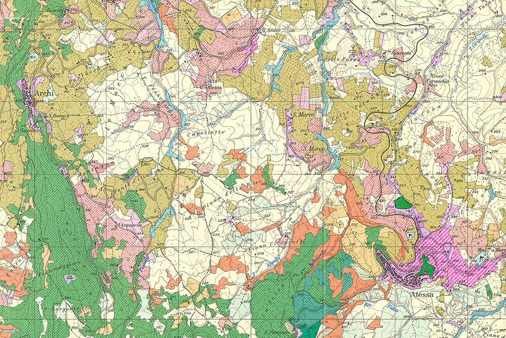
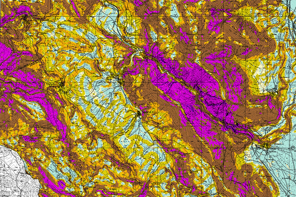
Realization of a map of current land use on a scale of 1: 25,000 for the entire Abruzzo Region, using Landsat TM satellite images.
The current land use in the Region of Abruzzo (total surface area, approx. 10,794 km2) was mapped in a scale of 1: 25,000 using video interpretations of digital ortho-images in 1: 10,000 scale, aided by Landsat ™ multi-temporal satellite images and supported by the execution of 1,000 ground control points (interpretative keys).
The legend was based on the principles developed under the European project Corine Land Cover, and provides 44 land use categories, separated into 4 levels for further study.
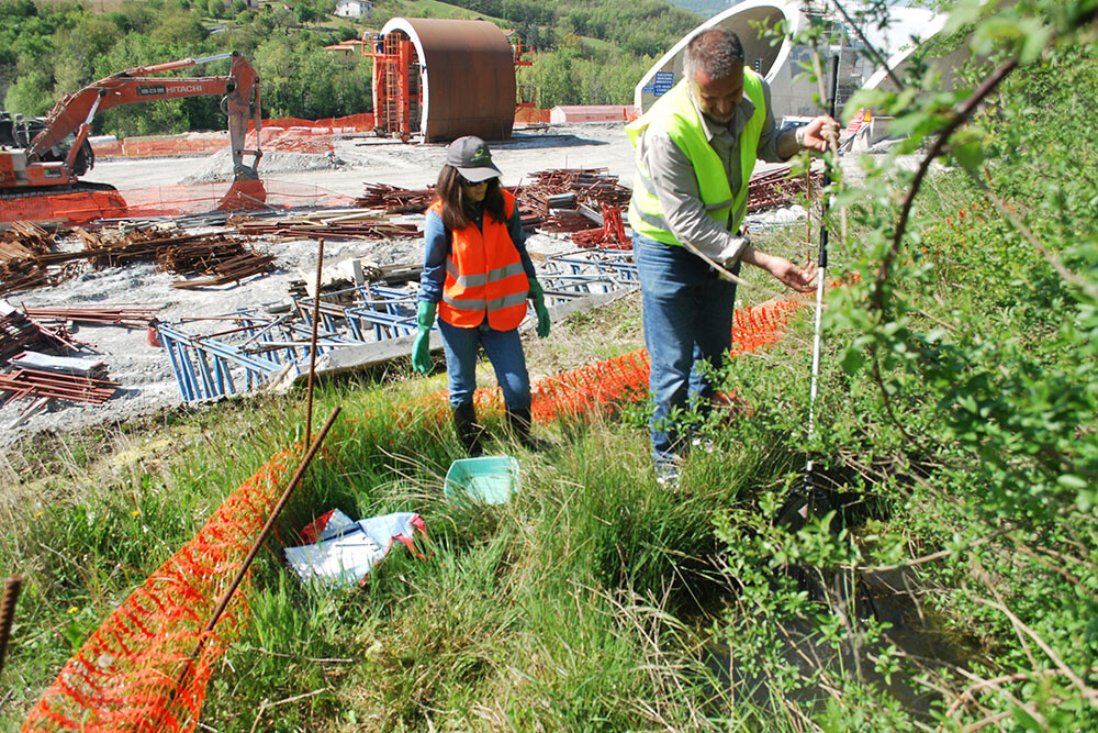
In addition to the digital version of the land use map, the services provided to the Abruzzo Regional Council included 300 colour printed copies with explanatory notes, a diachronic comparison between current land use and the land use between 1982-86, and the execution of 2,000 fixed points for field monitoring.
From – To
1999 – 2000
Client
Abruzzo Regional Council